Abia State Landmass
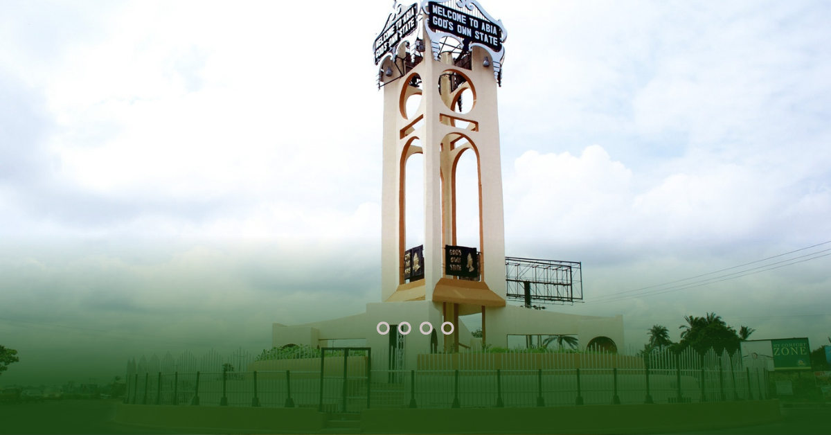
Abia State is a state in the South-East geopolitical zone of Nigeria, bordered to the northwest by Anambra State and northeast by the states of Enugu, and Ebonyi, Imo State to the west, Cross River State to the east, Akwa Ibom State to the southeast, and Rivers State to the south. Abia is the only Southeastern state with boundaries with Nigeria’s other four Southeastern states. This Article Contains a brief history of Abia State and The total number of local governments available with their landmass per each.
Brief History of Abia State
Abia State is one of the thirty-six States in Nigeria, it has about seventeen Local Government Areas, out of the 774 Local Government Areas that make up the Federal Republic of Nigeria. Abia State was created on the 27th of August 1991, during the government of General Ibrahim Babangida. The State is located in the southeastern part of Nigeria. Abia state was created out of Imo State, and the two sister states share boundaries. However, it is known as one of the constituent states of the Niger Delta region.
The state has its capital at Umuahia while the commercial city of the state is Aba, Abia State is also referred to as God’s state. Economically, Abia State is based around the production of crude oil and natural gas along with agriculture, mainly of yams, maize, taro, oil palm, and cassava. A key minor industry is manufacturing, especially in and around Aba With its fast-growing population and industrialization.
Crude oil and gas production is a prominent activity, as it contributes over 39% of the State’s GDP. However, the indigenous oil companies – through the Marginal Fields Programme (MFP) – have not found it easy to attract the requisite funding and infrastructural capacity, to explore some of the marginal oil fields which are about 50 in the State Abia has the joint-eighth highest Human Development Index in the country and there are over 100 oil wells and 3 installed flow stations in Abia State also an associated gas plant, the Abia/NNPC gas plant.
Abia landMass
Abia is the 32nd largest in area and 27th most populous with an estimated population of over 3 727 347 as of 2016, Geographically, the state is divided between the Niger Delta swamp forests in the far south and the drier Cross–Niger transition forests with some savanna in the rest of the State. Other important geographical features are the Imo and Aba Rivers, which flow along Abia’s western and southern borders.
However, Modern-day Abia State has been inhabited for years by various ethnic groups, but it is predominantly inhabited by the Igbo people. The state Government is led by a democratically elected Governor who works closely with members of the state’s House of Assembly. The capital city of the state is Umuahia and there are 17 local government areas in the state.
Geographically Abia State occupies about 4902 square kilometers, it is bounded on the north and northeast by the states of Enugu for about 25 km, and Ebonyi for 70 km (43 miles), Cross River State for about 52 km (partly across Cross River) and Akwa Ibom State for 151 km (94 miles) to the east and southeast respectively, River State to the south and west for 87 km (54 miles), Imo State and Anambra to the west for to the west in the vicinity of the Imo River) for about 18 km and about 104 km respectively.
| Names of Local Government Areas |
| 1. Aba North |
| 2. Aba South |
| 3. Arochukwu |
| 4 . Bende |
| 5. Ikwuano |
| 6. Isiala Ngwa North |
| 7. Isiala Ngwa South |
| 8. Isiukwuato |
| 9. Obi Ngwa |
| 10. Ohafia |
| 11. Osisioma Ngwa |
| 12. Ugwunagbo |
| 13. Ukwa East |
| 14. Ukwa West |
| 15. Umuahia North |
| 16. Umuahia South |
| 17. Umunneochi |
READ MORE ON LANDMART.NG


