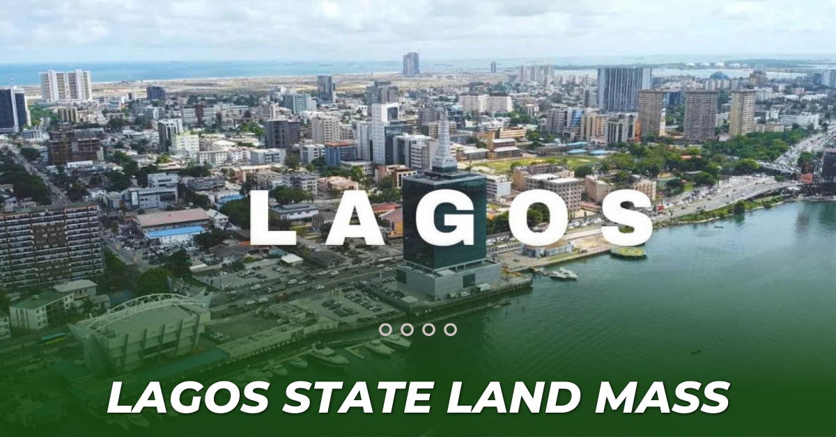
Lagos State landmass
Lagos, being the commercial capital of Nigeria and the economic hub of West Africa offers significant business opportunities across various industries. With a high population, ongoing infrastructure development, and sustained economic growth, the city provides favorable conditions for entrepreneurs and investors to thrive. this article contains a brief history of Lagos State and the state’s total land mass with the available local government in the state as a whole.
Brief History Of Lagos State
Lagos State is a state in southwestern Nigeria Of the 36 states, it is the most populous and smallest in area. Bounded to the south by the Bight of Benin and to the west by the international border with Benin for ten km, Lagos State borders Ogun State to the north for about 283 km, making it the only Nigerian state to border only one other state, since its creation in 1967, the state has been administered either by a governor and a House of Assembly in civilian or quasi-civilian under Ibrahim Badamasi Babangida’s administration federal administrations or by Sole-Administrators or Military Administrators in military dispensations. Since December 2007, Yoruba has been the second official language of debate and discussion for the House of Assembly after English.
However, The current governor of Lagos State is Babajide Sanwo-Olu, who emerged victorious for a second term in office in the March 11, 2023 Governorship elections. Babajide Sanwo-Olu was sworn in on May 29, 2023, for a second term in office, retaining him as the 6th democratic governor of Lagos State and the 15th governor of Lagos State overall.
According to online reports, Lagos is the commercial capital of Nigeria and the economic hub of West Africa created on May 27, 1967, and became the federal capital of Nigeria on April 11, 1968. It remained the capital until 1991 when the government seat was moved to the Federal Capital Territory, Abuja. Despite the movement of the capital to Abuja, Lagos remains the country’s commercial capital and the economic hub of West Africa to date.
The LandMass Of Lagos State
Geographically, Lagos State is dominated by bodies of water with nearly a quarter of the state’s area being bodies of water.[10] The largest of these bodies are the Lagos and Lekki lagoons in the state’s interior with the Ogun and Osun rivers flowing into them. Many other rivers and creeks flow throughout the state and serve as vital means of transportation for people and goods.
Lagos State has been inhabited for years by various indigenous ethnic groups, primarily the majority Yoruba people that live throughout the state but also the Ewe and Ogu peoples in the far west. As a result of migration since the nineteenth century, Lagos State also has large populations of non-native Nigerian ethnic groups with Edo, Fulani, Hausa, Igbo, Ijaw, Ibibio, and Nupe peoples among other Nigerian groups.
The total landmass of Lagos state is 3,577 kilometers per square with 20 local governments which are, Agege, Alimosho, Ifako-Ijaiye, Ikeja, Kosofe, Mushin, Oshodi/Isolo, Shomolu, Apapa, Eti-Osa, Lagos Island, Lagos Mainland, Surulere, Ajeromi/Ifelodun, Amuwo/Odofin, Ojo, Badagry, Ikorodu, Ibeju-Lekki, Epe. Today, the word Lagos often refers to the urban area, called “Metropolitan Lagos” in Nigeria, which includes both the islands of the former municipality of Lagos and the mainland suburbs. Lagos State government is responsible for some of the utilities including roads and transportation, power, water, health, and education.
These tables explain different local governments available in Lagos state and their landmass.
| Local Government | Area per kilometer per square |
| 1. Agege | 11km² |
| 2. Alimosho | 185km² |
| 3. Ifako-Ijaiye | 27km² |
| 4. Ikeja | 46km² |
| 5. Kosofe | 81km² |
| 6. Mushin | 17km² |
| 7. Oshodi/Isolo | 45km² |
| 8. Shomolu | 12km² |
| 9. Apapa | 27km² |
| 10. Eti-Osa | 192km² |
| 11. Lagos Island | 9km² |
| 12. Lagos Mainland | 19km² |
| 13. Surulere | 23km² |
| 14. Ajeromi/Ifelodun | 12km² |
| 15. Amuwo/Odofin | 135km² |
| 16. Ojo | 158km² |
| 17. Badagry | 441km² |
| 18. Ikorodu | 394km² |
| 19. Ibeju-Lekki | 455km² |

